India to Map Cities in 3D Using Satellites: Three Space Firms Selected for ₹1.46 Crore Project
 WhatsApp Channel
The PJ Herald | New Delhi: India has taken a significant step towards using satellite technology for smarter urban planning, with the Indian National Space Promotion and Authorisation Centre (IN-SPACe) selecting three domestic space companies to develop high-resolution three-dimensional maps of Indian cities. Announced on Tuesday, November 17, 2026, the initiative will provide a combined seed funding of ₹1.46 crore to develop and demonstrate indigenous technologies capable of mapping buildings, settlement patterns and urban expansion.
The three selected companies — SpacePixxel Technologies, KaleidEO Space Systems and Azista Industries — will work on satellite-based techniques to reconstruct India's built environment in three dimensions. The project is designed to address the growing need for accurate geospatial information as cities expand, infrastructure demands increase and urban planners face challenges in managing population growth.
The initiative forms part of IN-SPACe's Seed Fund Scheme for Use Case Demonstration by Non-Government Entities. It aims to support the development of high-resolution Indian Human Settlement Layers, a geospatial data system intended to provide detailed information about the physical characteristics of urban settlements. The requirement has been identified by NITI Aayog, which is seeking more accurate data to support infrastructure planning, disaster-risk assessment and population-related analysis.
Get important news and breaking updates directly.
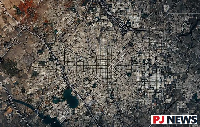
Unlike conventional maps that primarily show the horizontal spread of buildings and roads, the proposed system will also capture the vertical dimensions of urban development. The selected companies will use Indian Earth-observation satellite imagery to generate three major categories of information: built-up surface and building type, building height, and total built-up volume. These measurements could help authorities understand not only how far a city has expanded but also how densely its buildings are concentrated.
The first pilot demonstrations will be carried out in Bengaluru and Shimla. The two cities have been selected because they represent contrasting urban conditions. Bengaluru is a rapidly growing metropolitan region with extensive commercial and residential development, while Shimla presents a challenging hill-city environment where terrain, settlement density and infrastructure planning require specialised attention.
The project will also compare satellite-derived settlement information from two different periods to assess changes in urban growth and building density. Such comparisons could eventually assist planners in identifying areas experiencing rapid construction, evaluating infrastructure requirements and studying the relationship between urban development and environmental risks.
IN-SPACe Chairman Pawan Goenka highlighted the need for accurate information about India's changing urban landscape. He said that cities were expanding both horizontally and vertically, while gaps in detailed data continued to limit effective planning. The initiative seeks to combine Indian satellite observations, domestic technological capabilities and requirements identified by government departments to create practical solutions for urban challenges.
The selection process was competitive. According to IN-SPACe Technical Directorate Director Rajeev Jyoti, the agency received 26 proposals, shortlisted 13 and finally selected three for funding support. The chosen projects will be monitored periodically by a committee that includes representatives of relevant government departments and the Indian Space Research Organisation.
Shamika Ravi, a member of the Economic Advisory Council to the Prime Minister, emphasised the importance of modern data for public policy. The pilot projects are expected to explore how satellite observations can provide more timely information about urbanisation, potentially reducing dependence on older methods of collecting and updating settlement data.
The initiative could also create opportunities for India's emerging private space industry. By supporting commercially relevant applications of satellite imagery, IN-SPACe aims to help domestic companies develop technologies that government agencies may eventually adopt on a larger scale. Successful pilot demonstrations could lead to additional work orders, although no nationwide deployment has yet been announced.
Satellite-based urban mapping may prove useful in several areas, including road and transport planning, disaster preparedness, public infrastructure development and monitoring changes in land use. In densely populated cities, accurate building-height and built-up-volume information could provide planners with a clearer understanding of the demands placed on public services and essential infrastructure.
However, the project remains at the demonstration stage. The selected companies must first establish that their methods can generate reliable, high-resolution results across different urban conditions. The wider use of these technologies will depend on technical performance, validation of the resulting data and future decisions by government agencies.
With Bengaluru and Shimla serving as the initial testing grounds, the ₹1.46 crore initiative represents a targeted investment in India's growing space-technology ecosystem. If the demonstrations succeed, the project could help establish a foundation for more accurate, satellite-driven urban planning while strengthening the role of Indian private companies in developing practical applications of space technology.
Get the latest stories and breaking news on WhatsApp.