Cyberabad Plans GIS Mapping of Garbage Collection Across 612 Sq Km to Improve Sanitation
 WhatsApp Channel
Location: Cyberabad, Telanagana
The PJ Herald | Cyberabad: The Cyberabad Municipal Corporation (CMC) is planning a major overhaul of garbage collection and road-sweeping operations through Geographic Information System (GIS) mapping, aiming to establish clearer responsibilities and improve the monitoring of sanitation services across its jurisdiction.
The proposed exercise will cover approximately 612 square kilometres, including urban areas such as Madhapur, Serilingampally, Kukatpally and Quthbullapur. The corporation intends to engage consultants to develop a comprehensive digital database of buildings, waste-generating units, residential localities and collection routes.
Get important news and breaking updates directly.
Under the existing deployment-based approach, sanitation management largely revolves around assigning workers and vehicles. The proposed system would instead establish defined geographical service areas, allowing the corporation to identify which vehicle or sanitation worker is responsible for a particular location.
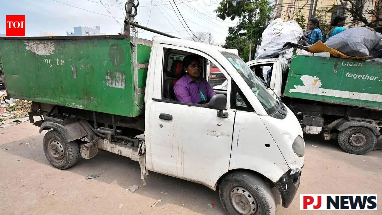
A key component is the mapping of door-to-door garbage collection routes. Each collection vehicle would be linked to a designated area and measurable workload. As an indicative planning standard, an auto-rickshaw used for waste collection would generally serve around 600 to 800 garbage-generating units.
The proposed database would also map road-sweeping responsibilities, helping officials assess workloads and monitor whether assigned services are being delivered. The intention is to make sanitation operations more accountable and identify gaps in coverage.
For residents of expanding neighbourhoods, the practical importance of such a system lies in the reliability of everyday waste collection. When a vehicle misses a street or a newly developed residential area is not adequately covered, clearly defined routes and responsibilities could make it easier for municipal teams to identify and address the service gap.
The proposal is particularly relevant to areas experiencing rapid construction and population growth, where the number of households and commercial establishments can increase faster than existing sanitation arrangements are updated.
However, GIS mapping alone will not guarantee cleaner streets. The eventual impact will depend on accurate field surveys, sufficient vehicles and personnel, regular updating of records and effective action when services are missed.
According to information reported on November 18, the corporation plans to appoint consultants for the exercise. A confirmed implementation schedule, project expenditure and details of any public-facing complaint-tracking system have not yet been established in the available report.
The initiative remains at the planning stage. Its success will ultimately be measured not by the completion of digital maps, but by whether residents experience more consistent garbage collection and cleaner neighbourhoods.
Get the latest stories and breaking news on WhatsApp.